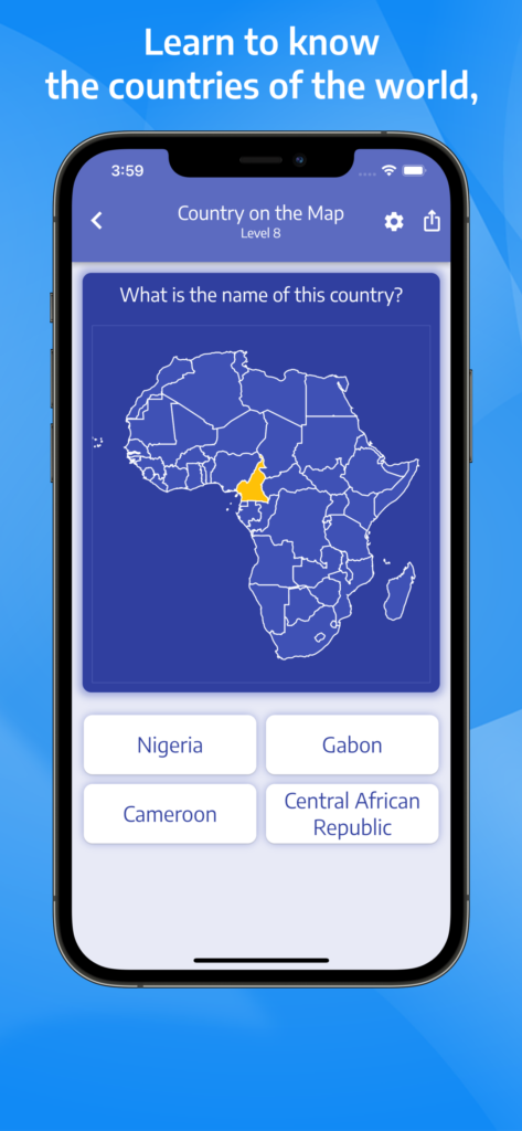
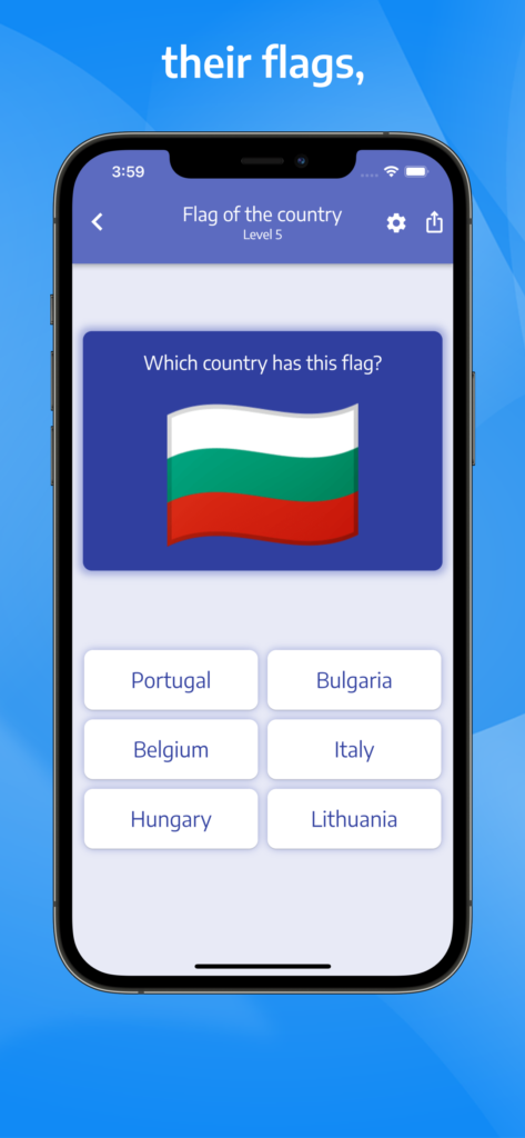
In this geographic game, you will get to know the names, abbreviations, regions and capitals of all the states of the USA as well as know how to identify them on the map of the United States. The quiz will also teach you how to find the largest U.S. cities on the map and identify their states and regions.
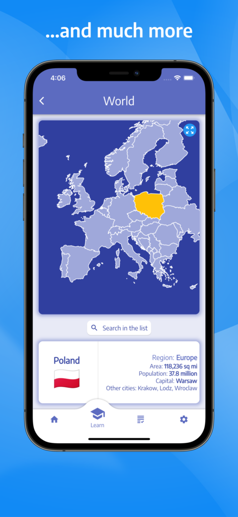
To get to know the american states, just click on the map of USA or search the list of states to view the details, including region, abbreviation, capital, area, population and largest cities that are located in the selected state.
You can choose from several quiz modes:
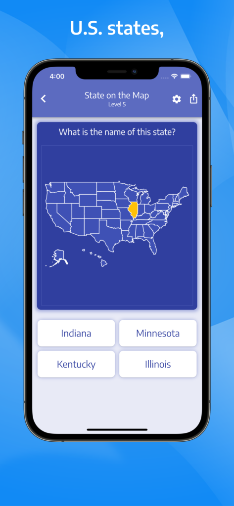
- find the name of the state displayed on the map of USA,
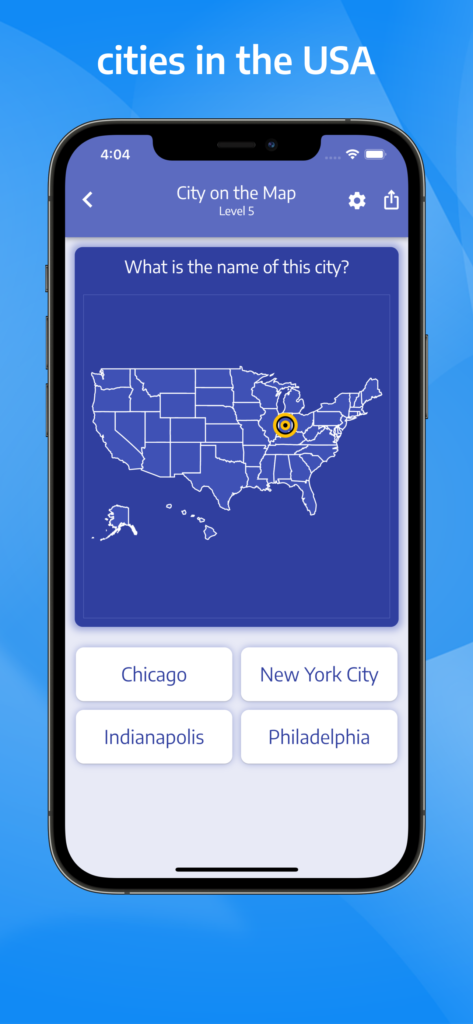
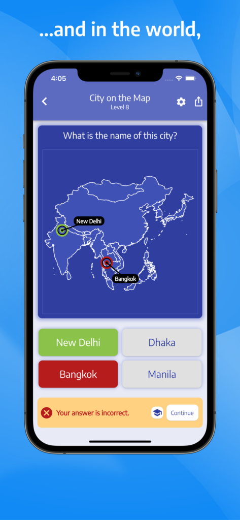
- find the name of the city displayed on the map of USA,
- find on the map the state with the given name,
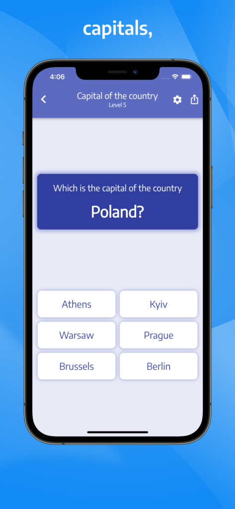
- identify the capital of the given state,
- identify the region in which the given state is located,
- identify the state in which the given city is located,
- find the abbreviation of the given state,
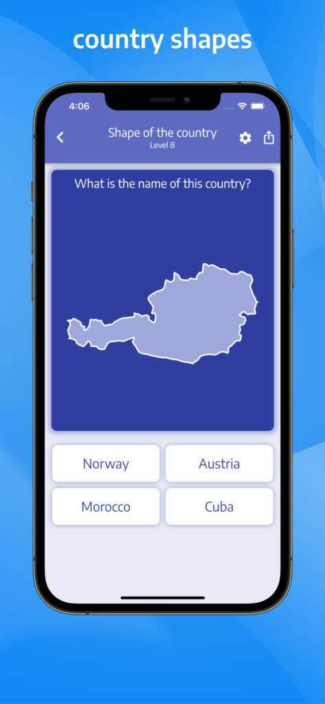
- identify the state only by its shape.
In each quiz mode, you can select between two, four or six choices offered. If your answers are correct, you advance to a higher level with increasingly difficult questions.
This application also allows you to view your current state during your travels as well as create and share with your friends your own map of the states you have visited.
You can use the app for free by watching a short ad video before certain levels or purchase the Premium version which gives full access to the app completely ad-free.
usa@quiz-geo.com

